Mapping Carbon Sequestration Opportunities in the Avon Region WA
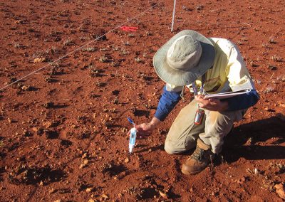
Wheatbelt NRM engaged Ecoscape to undertake a multi-criteria based spatial analysis (MCA) using Geographic Information Systems (GIS) of carbon sequestration opportunities across the Avon Wheatbelt NRM region to optimise natural resource management outcomes. This project fits in with the Regional NRM Strategy for the Avon River Basin which states planning for carbon sequestration as one of the five year strategic priorities under the overall objective of adapting to climate change. Developing a spatial tool is another five year priority to assist Wheatbelt NRM to develop a strategic adaptive management approach into NRM.
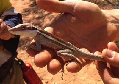
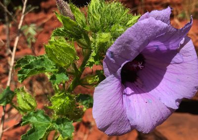
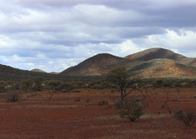
An overarching principle applicable to all of the models was that no plantings were to occur in areas of remnant vegetation. The Great Western Woodlands subregion was also excluded from the analysis as it is largely bushland, providing very little scope for carbon plantings.
The final outputs were three maps that showed the results of the spatial analysis. A decision making hierarchy was used to combine the results of the different models into a single map to illustrate planting priorities.

science projects.


office
Lvl 1 38 Adelaide Street
Fremantle (Walyalup) WA 6160
Whadjuk Boodja
phone
+61 8 9430 8955
Ecoscape offices are located in Walyalup, on the traditional lands of the Whadjuk people of the Noongar nation. We work on many lands throughout Australia and acknowledge the Traditional Owners of Country throughout Australia and their continuing connection to land, sea and community and pay our respects to their cultures, ancestors and Elders.